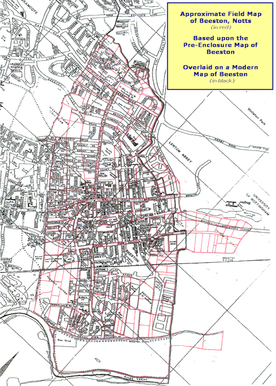
The maps shown here and on the other two map pages, and the tables on the first page, are the work of Geoffrey Drinkwater and
Stephen Wallwork and are included here with their kind permission. These maps and tables were originally connected with their work Early Roads and Footpaths in Beeston,
Nottinghamshire and Mapping Pre-enclosure Beeston which were first published in The Nottinghamshire Historian, Autumn/Winter 2002 (No. 69) and Spring/Summer 2007
(No. 78) editions respectively
The map reproduced below, shows the pre-enclosure field structure (in red) overlaid on a map of present-day Beeston. |